Aerial Photography and Videography
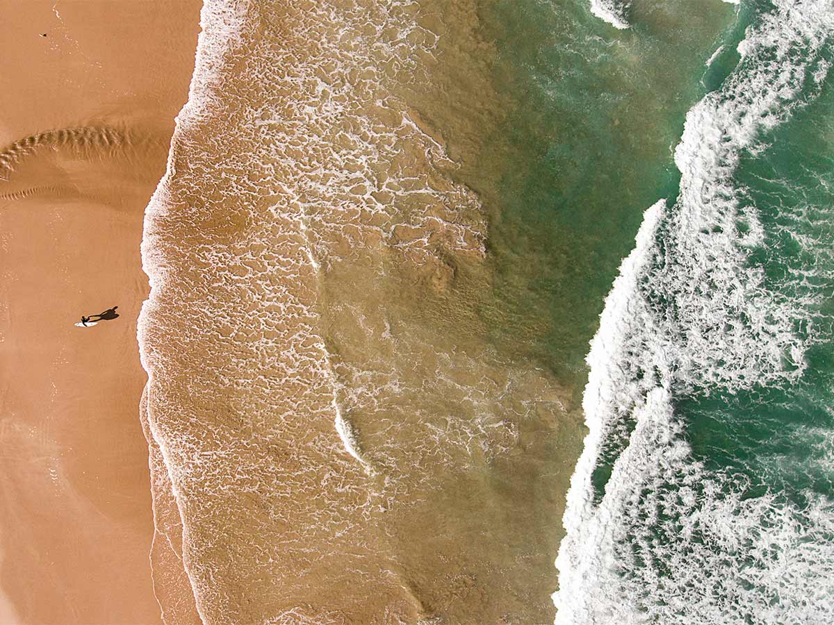
Drones have fundamentally transformed the landscape of visual storytelling and documentation. By providing affordable access to aerial perspectives once limited to helicopter shots or expensive crane setups, they've democratized high-quality aerial imagery.
Professional cinematographers utilize drones to capture sweeping establishing shots for films and commercials, while real estate agents can offer comprehensive property tours with aerial views. Wedding photographers incorporate drone footage to document celebrations from unique angles, and news organizations deploy them to cover events, protests, and natural disasters safely from above.
Agriculture
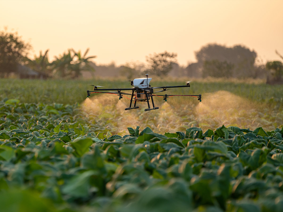
When it comes to agriculture, drones have made farming easier than ever before. Equipped with multispectral sensors, these aerial drones can assess crop health by detecting variations in chlorophyll levels and identifying pest infestations before they're visible to the human eye. Farmers use drone-generated maps to optimize irrigation systems, reducing water waste and improving crop yields.
Large-scale operations employ autonomous drones for targeted pesticide application, minimizing chemical use and environmental impact. The data collected by agricultural drones enables farmers to make informed decisions about planting patterns, harvest timing, and resource allocation, ultimately increasing efficiency and productivity while reducing costs and environmental impact.
Disaster Response
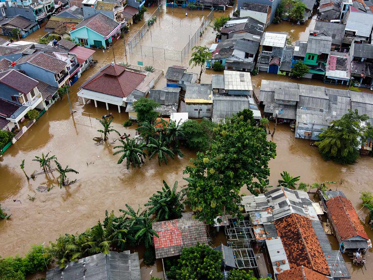
When natural disasters strike, drones become invaluable tools in emergency response efforts. In the critical hours following earthquakes, rescue teams deploy thermal imaging drones to locate survivors trapped in rubble, while other drones assess structural damage to buildings and infrastructure.
During floods, drones deliver life-saving supplies to isolated communities and help emergency planners identify safe evacuation routes. In wildfire scenarios, fire departments use drones equipped with infrared cameras to track fire spread and hotspots, enabling more effective firefighting strategies.
Infrastructure Inspection
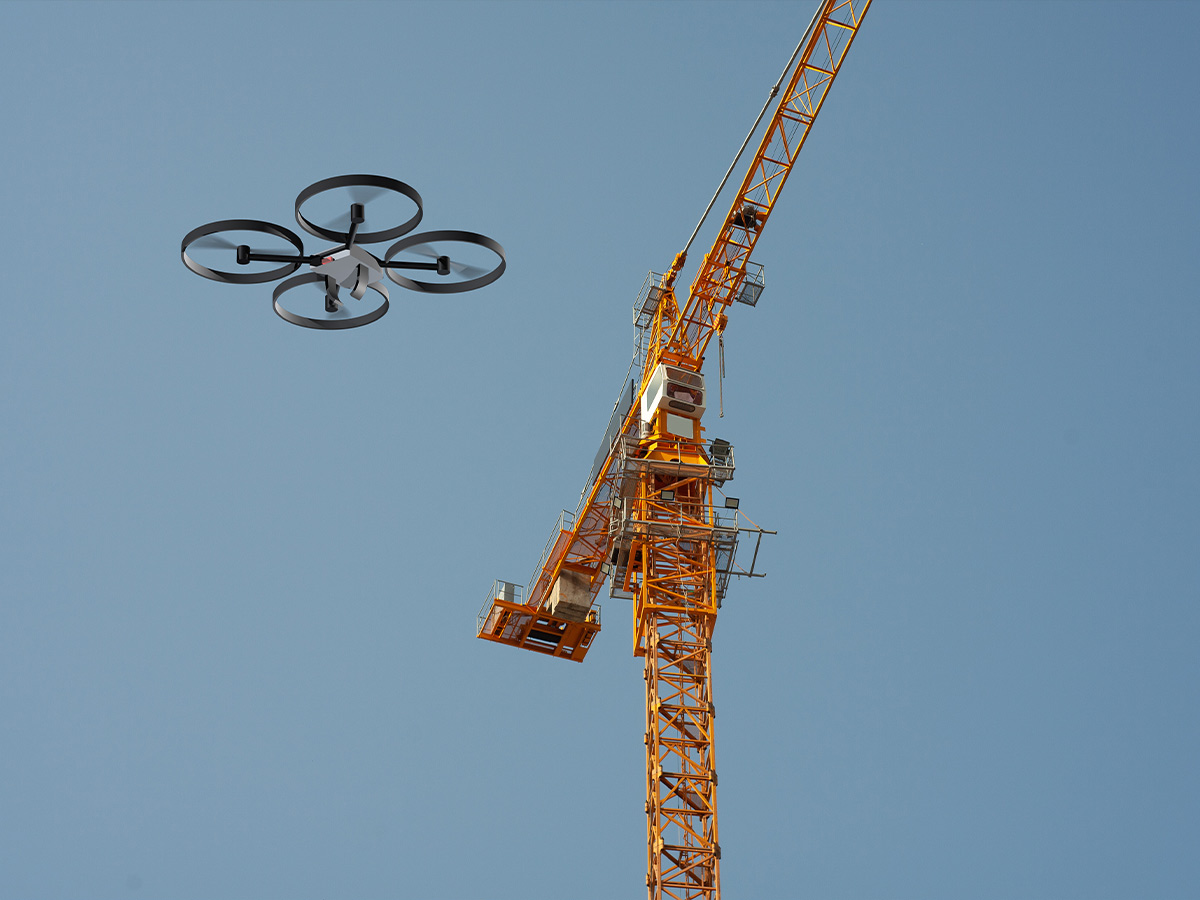
Energy companies use drones to inspect miles of power lines in a fraction of the time it would take human crews to identify potential failures before they cause outages. Bridge inspectors deploy drones to examine hard-to-reach areas, capturing high-resolution images of potential structural weaknesses without putting workers at risk.
In the oil and gas industry, drones equipped with gas sensors detect leaks in pipelines, while telecommunications companies use them to inspect cell towers rapidly. This drone-based approach not only improves safety but also reduces inspection costs and downtime while providing more detailed and accurate data for maintenance planning.
Delivery Services
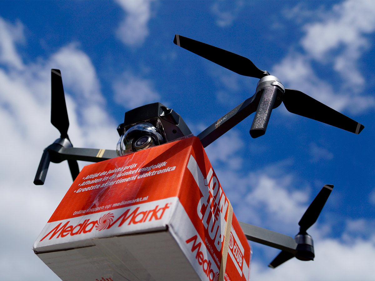
The concept of drone delivery is rapidly moving from science fiction to reality as major companies invest heavily in developing autonomous delivery systems. These services promise to revolutionize last-mile logistics, particularly in areas where traditional delivery methods are inefficient or impractical.
Beyond just package delivery, drones are being tested for medical supply transport, delivering vital medications and blood samples between hospitals. Urban air mobility companies are developing larger drones for passenger transport, potentially alleviating ground traffic congestion.
Environmental Monitoring
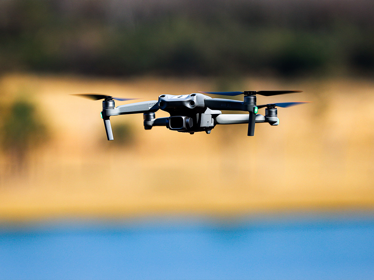
Environmental scientists have embraced drone technology as a powerful tool for monitoring and protecting ecosystems. Conservationists use drones to track endangered species in their natural habitats without causing disturbance, while marine biologists deploy waterproof drones to study ocean health and marine life behavior.
In forestry, drones equipped with LiDAR sensors create detailed 3D maps of forest canopies, helping track deforestation and plan reforestation efforts. Climate scientists use drones to measure atmospheric conditions and collect data from remote locations, contributing to our understanding of climate change impacts.
Military and Surveillance
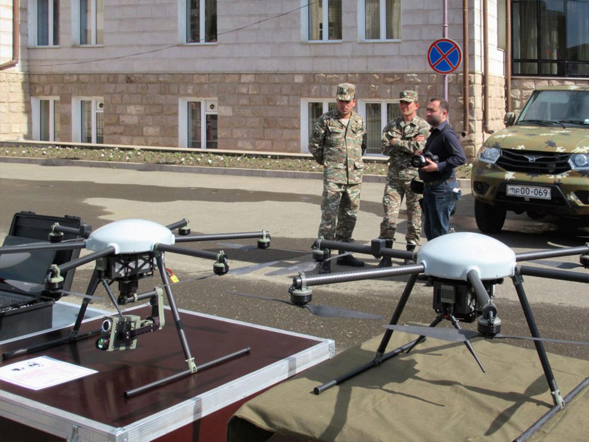
The military has been at the forefront of drone technology development, revolutionizing modern warfare and surveillance capabilities. Military drones range from small, hand-launched reconnaissance units to large, armed vehicles capable of long-duration missions. These platforms provide real-time intelligence gathering, target acquisition, and, when necessary, precision strike capabilities without risking pilot lives.
Beyond combat applications, military drones support peacekeeping operations, border surveillance, and counter-terrorism efforts. The technology has also led to significant advancements in autonomous systems, encrypted communications, and sensor technology, many of which have found applications in civilian areas.
Scientific Research
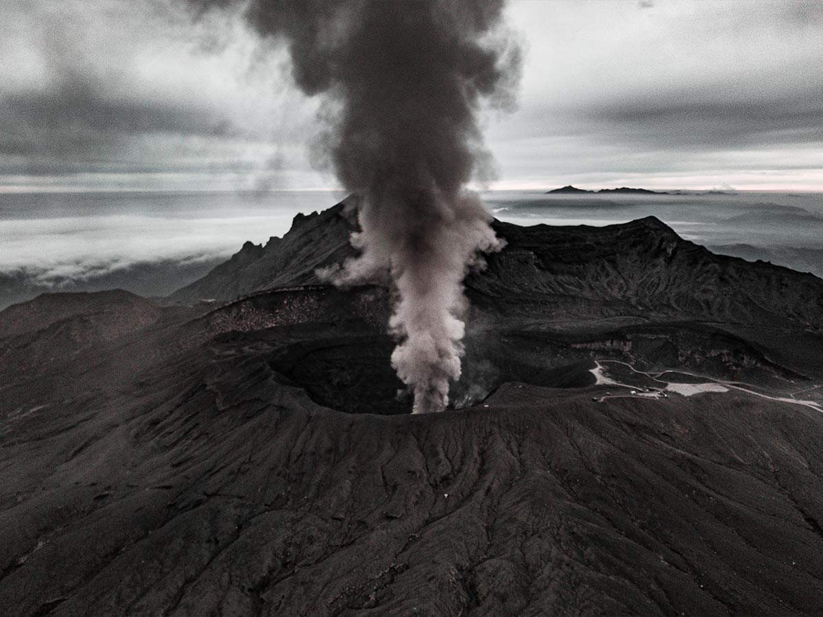
Drones have become indispensable tools in scientific research, enabling data collection in environments too dangerous or inaccessible for human researchers. Volcanologists use heat-resistant drones to sample gases and capture footage inside active volcanic craters, while glaciologists deploy drones to monitor ice sheet movements and measure glacial retreat.
In archaeology, drones equipped with ground-penetrating radar help discover buried structures and artifacts without disturbing sites. Marine researchers use underwater drones to explore deep ocean environments, collecting samples and documenting marine life.
Law Enforcement and Public Safety
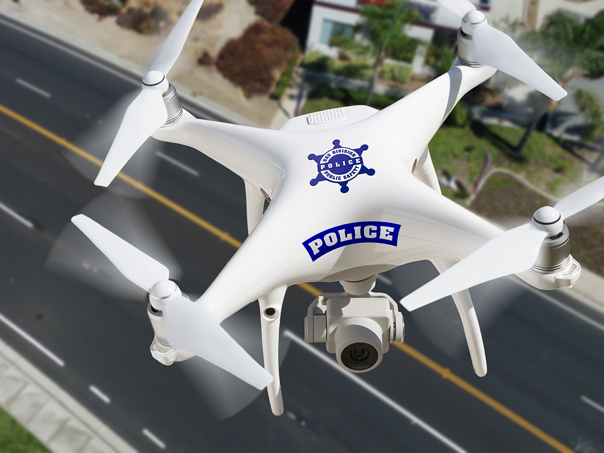
Police departments worldwide have integrated drones into their operations, enhancing their ability to maintain public safety while reducing risks to officers. During large public events, drones provide real-time crowd monitoring, helping to identify potential security issues and coordinate response efforts. In search and rescue operations, drones equipped with thermal cameras can quickly locate missing persons, particularly in challenging terrain or low-light conditions.
Crime scene investigators use drones to document crime scenes from above, creating detailed 3D reconstructions that can be crucial in investigations and court proceedings. Meanwhile, traffic units deploy drones to monitor road conditions and accident scenes, improving response times and traffic management.
Urban Planning
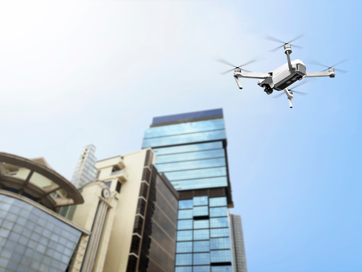
Drones have transformed how cities are planned, developed, and monitored. Urban planners use drone-generated 3D models to visualize development impacts and optimize city layouts for efficiency and livability. In construction, drones perform regular site surveys, tracking progress and ensuring adherence to plans while identifying potential safety hazards.
Real estate developers use drone footage to create immersive property tours and assess potential development sites, while civil engineers employ drones to monitor infrastructure projects, from road construction to utility installations, ensuring quality control and timely completion.
 Author
James Stephens
Last Updated: January 16, 2026